Who we are
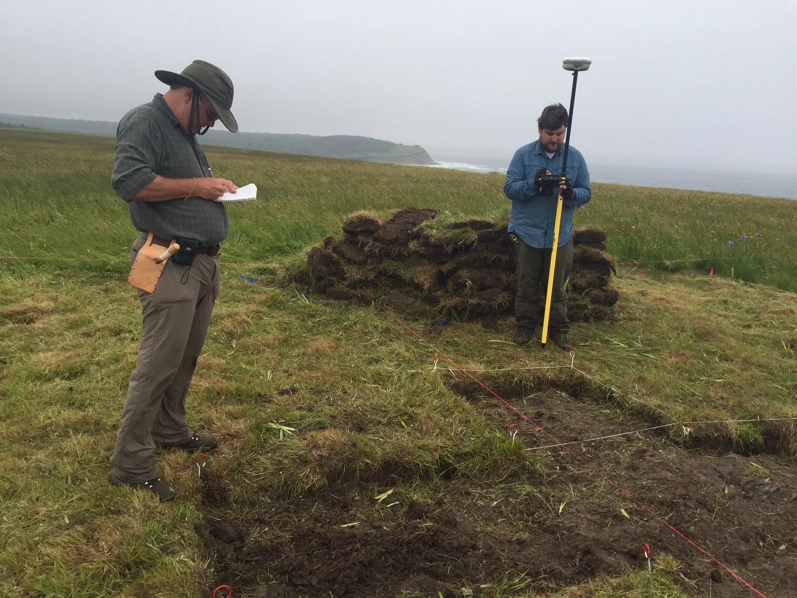
Deshret Cultural Services uses a full suite of remote sensing tools to map and model surface features across the Earth, including land cover change detection, surface feature detection, locating rare earth minerals, and long-term resource management planning. We use all forms of satellite imagery, including 15cm resolution Maxar Technologies Data, NASA and European Space Agency RADAR data, hyperspectral sensors, LIDAR, and aerial photography, in our efforts. We use a range of sensing tools, including classification, enhancement, feature detection, digital elevation extraction, feature mapping/3D modeling, alongside ground survey.
We have extensive experience applying AI/LLMs to our remote sensing projects. We use a full suite of remote sensing and GIS tools, including ESRI and Leica Geosystems products. We have used this technology across the world, in North America, South America, Europe, Asia, Africa, and the Middle East. We partner with a range of public and private stakeholders in our efforts, including NGOs, governments, and commercial partners.
Contact us
Interested in working together? Fill out some info and we will be in touch shortly. We can’t wait to hear from you!